

Exploration and Construction
Management Key Benefits
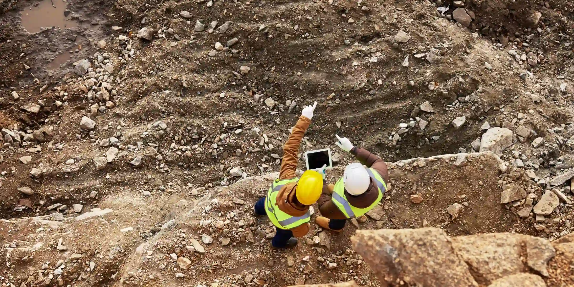
Construction Planning and DesignMap large work sites to acquire detailed, precise data using drones. 2D maps and 3D models help teams optimize project planning and designs. |
Progress MonitoringDrone solutions, along with image stitching and 3D modeling software help teams stay fully informed on site progress and resource allocation – keeping projects on time and on track. |
Data CollectionCollect accurate data covering large areas using a variety of sensors and software.
|
Construction Planning and Design

Traditional Challenges in Construction Planning and DesignThe lack of precise position data makes it difficult to align BIM designs, road vector maps, and satellite imagery, costing time and labor. |
How Drones Empower Construction Planning and DesignCreate 3D models with accurate positioning data that can be readily fitted into the BIM models to visualize designs.
|
Progress Monitoring

Traditional Challenges in Progress MonitoringIt is difficult to keep track of oil and gas facility construction projects as are often spread out, involving many teams. |
How Drones Help Monitor ProgressDrones can create accurate 2D maps and 3D models of the site on-demand.
|
Data Collection
Traditional Challenges in Data CollectionOil and gas construction projects usually span across far distances, making site surveying and general data collection difficult and inefficient with manual tools. |
How Drones Empower Data CollectionDrones are flexible, compact, yet powerful, delivering survey-grade data of large areas efficiently.
|